34 km | 41 km-effort
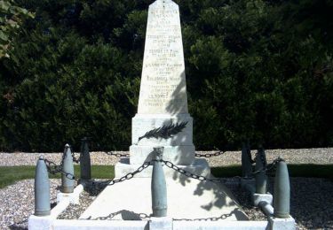
cimetière allemand
fredtruc27
User
Length
51 km
Max alt
165 m
Uphill gradient
268 m
Km-Effort
55 km
Min alt
133 m
Downhill gradient
260 m
Boucle
No
Creation date :
2014-12-10 00:00:00.0
Updated on :
2014-12-10 00:00:00.0
2h20
Difficulty : Unknown
FREE GPS app for hiking
About
Trail Cycle of 51 km to be discovered at Normandy, Eure, Le Plessis-Grohan. This trail is proposed by fredtruc27.
Description
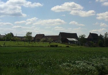
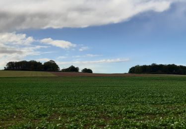
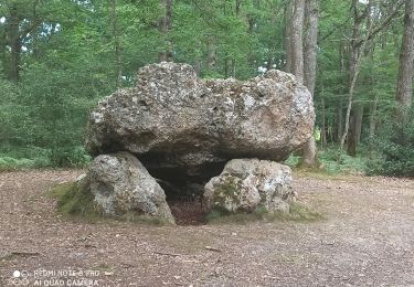
ballade vélo parcours plat. cimetière allemand près de saint André
Positioning
Country:
France
Region :
Normandy
Department/Province :
Eure
Municipality :
Le Plessis-Grohan
Location:
Unknown
Start:(Dec)
Start:(UTM)
363830 ; 5424193 (31U) N.
Comments
Trails nearby
La balade des copains - Arnieres sur Iton
Mountain bike
Difficult
(1)
Arnières-sur-Iton,
Normandy,
Eure,
France
2h 19min
Yes
Petit circuit de la Pierre de Courcoulée.20/03/23
Walking
Very easy
Les Ventes,
Normandy,
Eure,
France
3.7 km | 4.1 km-effort
1h 13min
Yes
chemin des postiers en chantier
Other activity
Very easy
Les Baux-Sainte-Croix,
Normandy,
Eure,
France
19 km | 22 km-effort
1h 39min
Yes
cimetière allemand
Other activity
Very easy
Le Plessis-Grohan,
Normandy,
Eure,
France
51 km | 55 km-effort
2h 20min
No
chemin des potiers en chantier
Mountain bike
Very easy
Les Baux-Sainte-Croix,
Normandy,
Eure,
France
19 km | 22 km-effort
1h 39min
Yes
Circuit du Moulin du Coq - Villez
Walking
Easy
Sylvains-lès-Moulins,
Normandy,
Eure,
France
7.3 km | 8.2 km-effort
1h 49min
Yes
Forêt des Ventes
Walking
Easy
Les Ventes,
Normandy,
Eure,
France
5.1 km | 6.1 km-effort
1h 22min
Yes
Garel - les Ventes - le Sac - Villalet - les Ventes - Garel
Mountain bike
Medium
Les Baux-Sainte-Croix,
Normandy,
Eure,
France
31 km | 35 km-effort
2h 3min
Yes
2024_06_25_cimetière des indigents
Mountain bike
Medium
Les Baux-Sainte-Croix,
Normandy,
Eure,
France
39 km | 45 km-effort
2h 45min
Yes